Iowa also takes special care to protect native flowers and grasses as part of its environmental program. That is why our teams have created a lot of new flower assets that will brighten the countryside of this map.
Iowa's terrain comprising of rolling hills and flat plains was greatly influenced by continental ice sheets that covered it and melted just around 13,000 years ago. Its elevation gradually increases from the southeast to the northwest, though it remains modest, with the highest spot, Hawkeye Point, reaching only 511 meters above sea level.
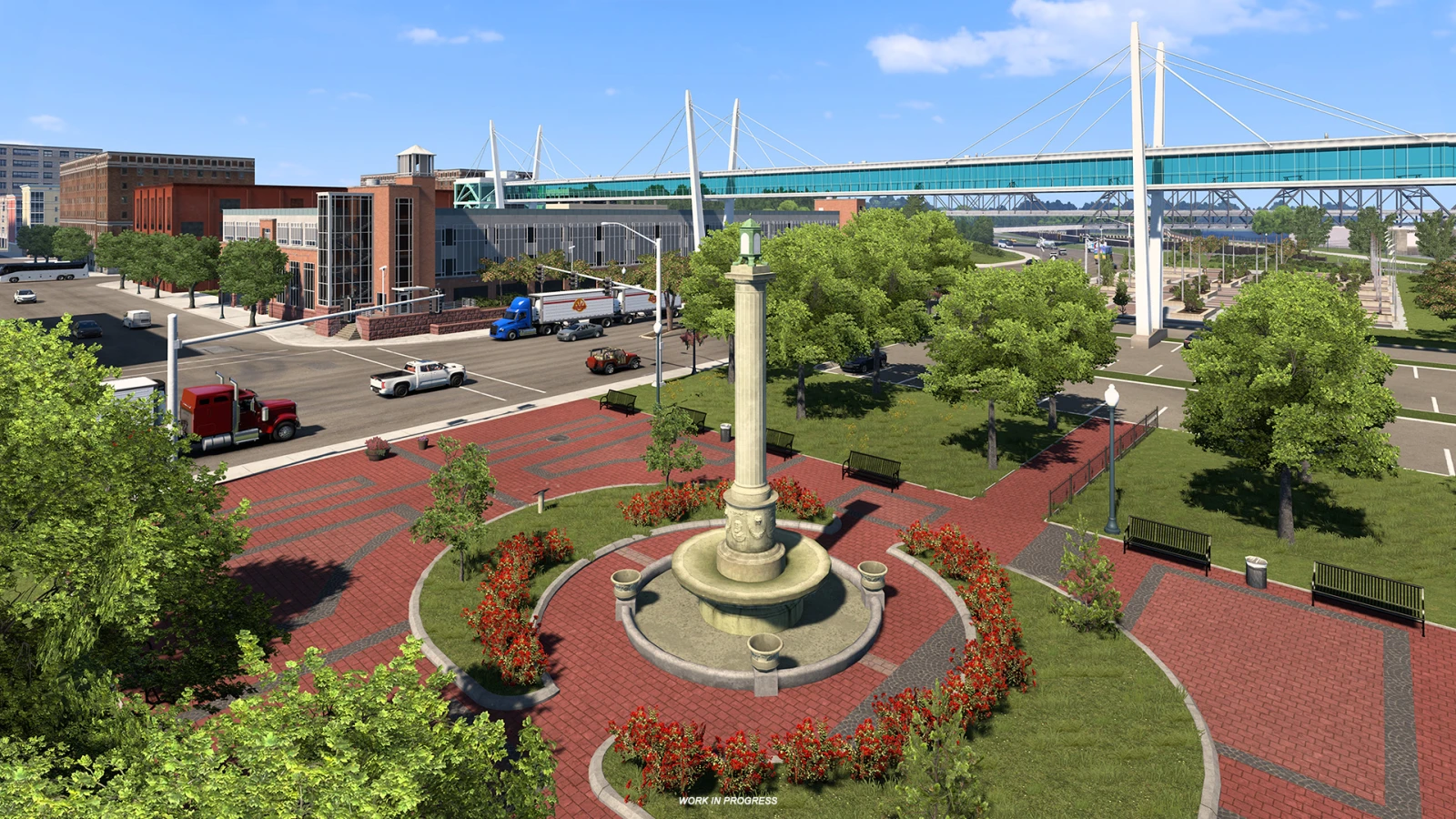
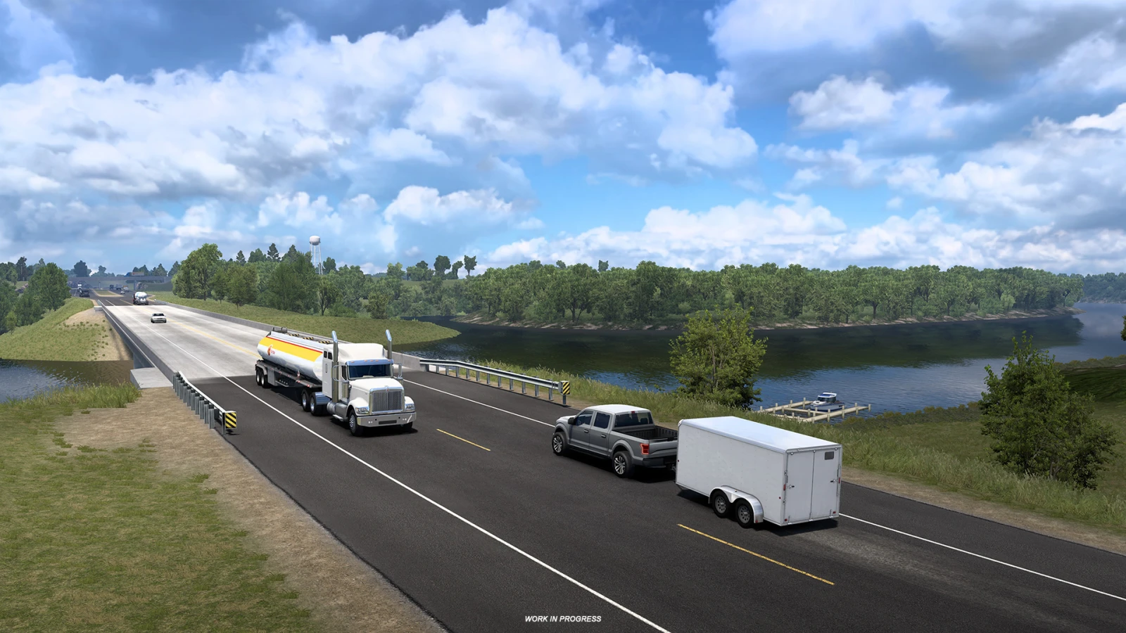
An important part of the landscape is the Mississippi River which creates the entire eastern border of the Hawkeye State. The vegetation in Iowa is mostly tallgrass prairie and savanna. Actually, over 90 % of its land is used for agriculture, mainly for corn, soy, and hay. This is why Iowa is also called the Corn State, and ranks as number one among the US states in corn and soybean production. So you can look forward to playing an important role in the region's agricultural industry, transporting local produce.
Only 8 % of Iowa's land is covered by forests which can be divided into three categories - upland hardwoods, found in elevated areas with well-drained soils; oak savannah, which is a transition between upland and bottomland forests; and the bottomland hardwoods often found near water bodies with wet soils.
As always, truckers can look forward to encountering some natural landmarks which will be incorporated into the map. One example is the famous Tree in the Road located near I-80 between Omaha and Des Moines.
If you are excited to be trucking in Iowa, don't forget to support us by
adding this map expansion to your Steam Wishlist! Until then, make sure to stay up to date on any other news by following us on our social media (
Twitter,
Facebook,
Instagram,
TikTok, and
YouTube). We'd also really appreciate if you could
sign up for our newsletter to stay informed, even when you're not able to check out the blog or our socials.